1
Add your places
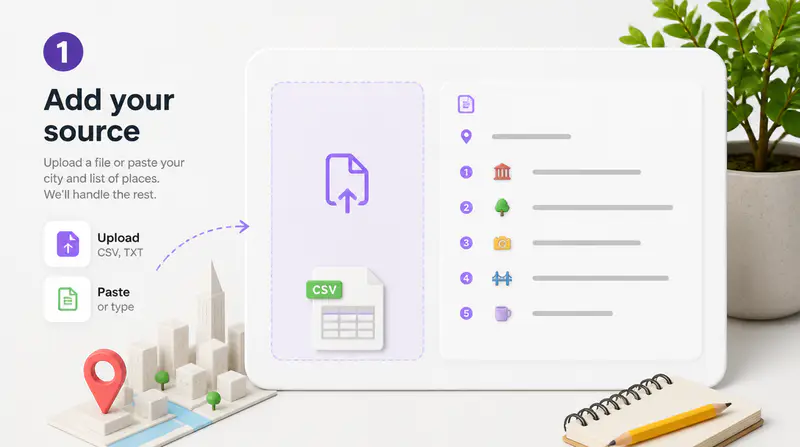
Enter a city and list two to twenty destinations. Add a preferred start, end, or waypoints when the route must follow a specific structure.
Add the places you want to visit, choose a map style and format, and turn the route into a polished visual for social media or print.
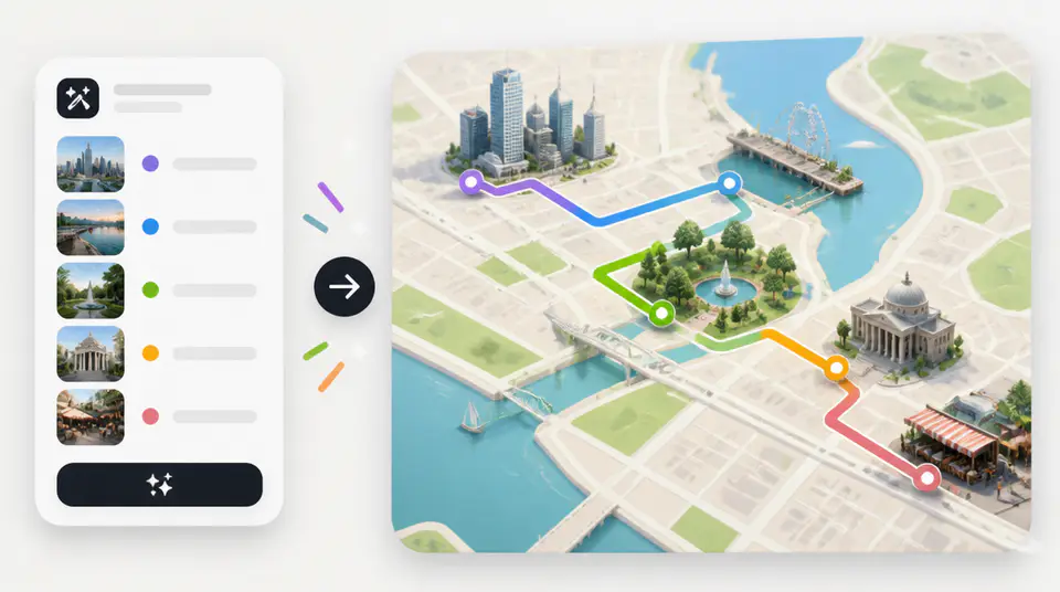
Move from a list of places to a clear, shareable route map without drawing paths and markers by hand.
Enter two to twenty locations, then optionally specify the start, finish, and must-visit waypoints. AI organizes the route into a coherent visual sequence before creating the map.

Use a clean editorial look, energetic colors, hand-drawn illustration, or a cinematic dark theme. Each direction keeps route markers and labels readable while changing the mood.

Create a 4:5 feed map, a tall 9:16 story visual, or a 3:4 2K print layout. The selected canvas guides the composition from the start instead of cropping afterward.

Fictional examples based on common travel, event, and content workflows.
I can turn a client itinerary into a visual route before our trip begins. The ordered stops make the plan much easier to share.

Elena Rossi
Travel Planner
The story format gives me a strong map graphic for city guides without rebuilding the route in a design tool.

Marcus Lee
Travel Content Creator
For walking events, I can compare a clean route with a more energetic visual and choose what fits the audience.

Nia Okafor
Community Event Producer
Create a custom visual route in three focused steps.
Enter a city and list two to twenty destinations. Add a preferred start, end, or waypoints when the route must follow a specific structure.
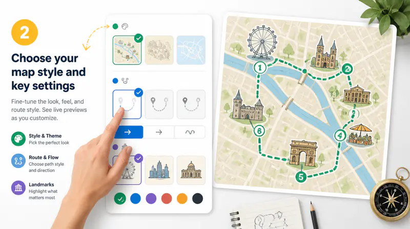
Pick a clean, vibrant, hand-drawn, or dark map direction, then choose the social or print canvas you need.
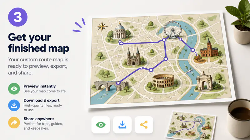
Let AI organize the route and render the map, then inspect the full-size result and download it for your project.
Can't find the answer you're looking for? Contact our support team
It turns a city and list of places into an illustrated route map with connected paths, ordered stops, labels, and distinctive start and end markers.
You can add between two and twenty locations. Each place name can contain up to 80 characters, and you can also provide optional waypoints.
Yes. Add a preferred start and end point, or leave them blank and let the route planner choose a coherent order from your locations.
The result is an illustrative route design, not turn-by-turn navigation. Verify real roads, travel times, and access details with a navigation service before traveling.
You can create a 4:5 1K feed image, a 9:16 1K story image, or a 3:4 2K layout intended for print-oriented designs.
Keep exploring
Related Imgkits tools selected for the task you are working on.